
Marine remote sensing
Seep Science Connected to Multi-Scale Environmental Measurement.
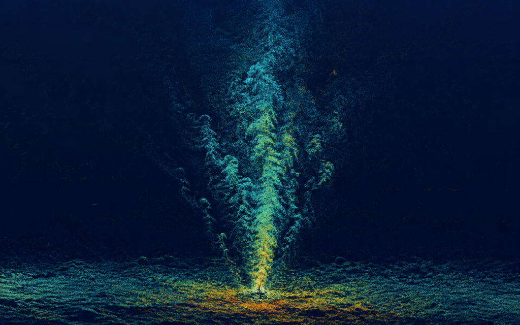
Sonar mapping and acoustic analysis of marine seep bubbles characterize plume structure, spatial variability, and gas flux through the water column and atmosphere.
Marine application
Remote Sensing, Field Observation, and Scientific Interpretation.
BRI integrates marine measurement with ground, airborne, and satellite approaches where they add value to the program.

Data integration
Remote Sensing & Satellite Analysis
Ground measurements, airborne observations, and oversampled satellite products are combined to interpret concentration patterns, validate observations, and connect anomalies with sources.
Marine remote sensing
Seep Science
Sonar mapping and acoustic analysis of marine seep bubbles characterize plume structure, spatial variability, and gas flux through the water column and atmosphere.
Scientific depth
Fast Iterative Cycles: Research, System Development, and Field Operations in One Technical Organization.
BRI carries programs from scientific conception through system development, field deployment, data analysis, and publication- or decision-ready technical results.
- Multi-institution and international program management
- Work for Fortune 500 companies, NASA, ESA, and other government agencies
- Mobile, fixed, airborne, satellite, and marine measurement integration
- Custom fabrication, software, calibration, and rapid field integration
- Real-time adaptive surveying and targeted sample collection
- Integration of mobile, laboratory, airborne, and satellite observations
- FAR-compliant contracting environment