
Application areas
Measurement Capability Applied Across Real Environmental Programs.
BRI applies the same platforms, field methods, and scientific analysis to ports, wells, marine seeps, and coordinated ground, airborne, and satellite campaigns.

Unified
Measurement platforms, custom systems & software
NASA · ESA
Fortune 500 & government experience | FAR compliant | $50M+
Real-Time
Adaptive surveying & targeted sampling
Selected field programs
Field Programs Where Measurement Capability Is Applied.
As both developer and end user, BRI refines its platforms through real-world field use—creating a fast feedback loop between engineering, deployment, and scientific results.
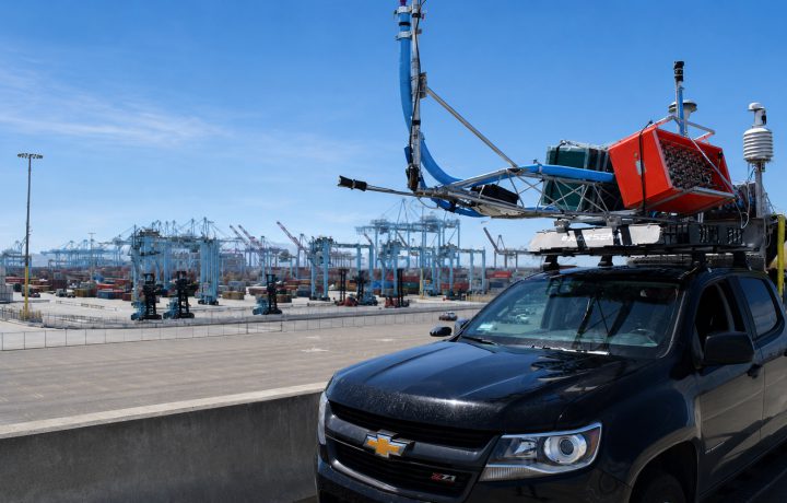
Port emissions monitoring
Port Carbon Monitoring Program
NASA-supported. An integrated monitoring concept connecting port greenhouse-gas measurements, satellite observations, airborne data, and SISTER2 ground validation.
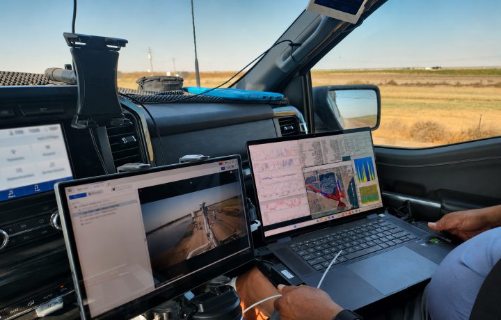
Cross-platform validation
Ground, Airborne & Satellite Validation
SISTER2 field measurements supporting coordinated research campaigns, instrument comparison, calibration activities, and validation of airborne and satellite observations.
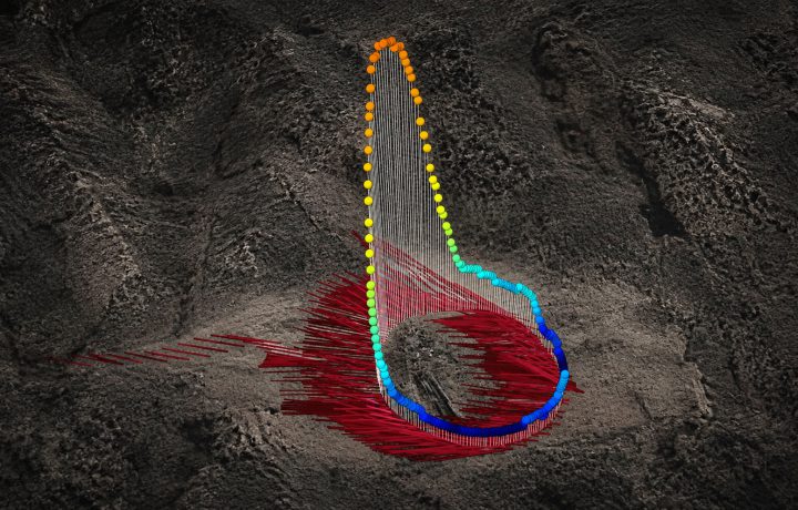
Adaptive emissions surveys
Active, Idle & Abandoned Wells
Mobile downwind transects, real-time trace-gas visualization, wind-informed plume interpretation, and targeted sampling for difficult-to-locate hydrocarbon emissions.
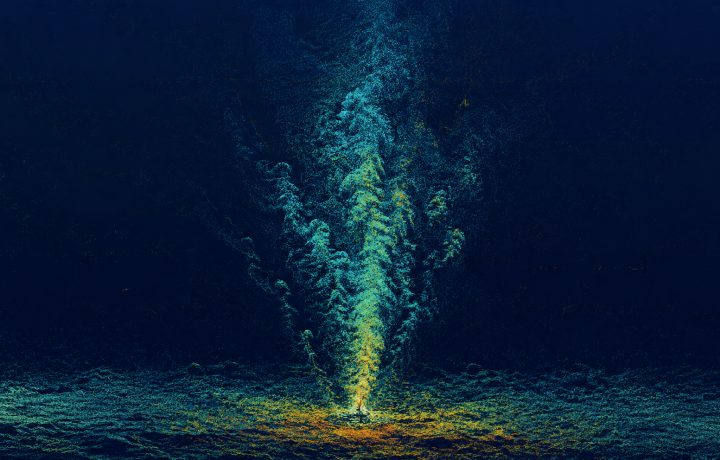
Marine remote sensing
Seep Science
Sonar mapping and acoustic analysis of marine seep bubbles characterize plume structure, spatial variability, and gas flux through the water column and atmosphere.
Scientific depth
Fast Iterative Cycles: Research, System Development, and Field Operations in One Technical Organization.
BRI carries programs from scientific conception through system development, field deployment, data analysis, and publication- or decision-ready technical results.
- Multi-institution and international program management
- Work for Fortune 500 companies, NASA, ESA, and other government agencies
- Mobile, fixed, airborne, satellite, and marine measurement integration
- Custom fabrication, software, calibration, and rapid field integration
- Real-time adaptive surveying and targeted sample collection
- Integration of mobile, laboratory, airborne, and satellite observations
- FAR-compliant contracting environment