
Services & capabilities
Integrated Field Measurement—from Deployment to Decision-Ready Data.
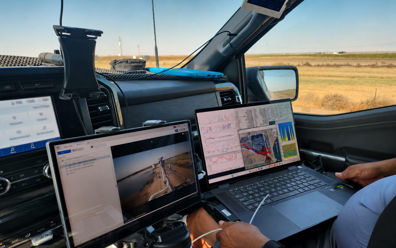
BRI combines mobile measurement platforms, high-volume sampling systems, sensor integration, adaptive field operations, real-time visualization, and scientific analysis to answer complex environmental questions.
Unified
Measurement platforms, custom systems & software
NASA · ESA
Fortune 500 & government experience | FAR compliant | $50M+
Real-Time
Adaptive surveying & targeted sampling
Services & capabilities
Complete Measurement Capability Built Around the Mission.
BRI combines instruments, platform engineering, software, deployment methods, and scientific interpretation into complete environmental measurement capability.
Mobile measurement
Emissions & Source Characterization
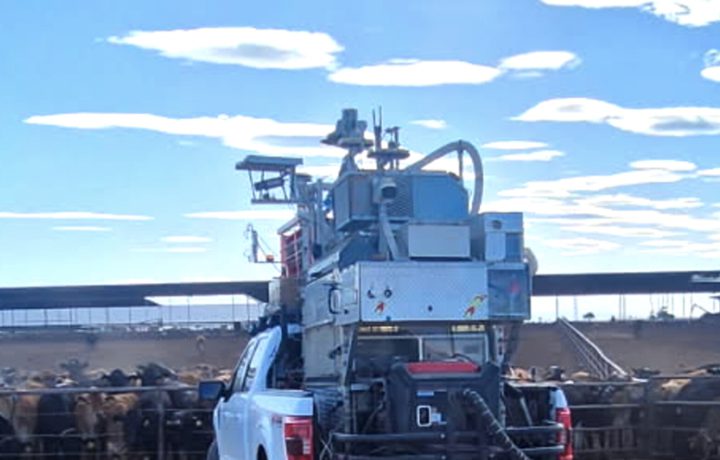
Adaptive mobile surveys combine trace-gas, aerosol, wind, and contextual measurements for plume mapping, source fingerprinting, and emissions estimation across industrial, agricultural, and natural settings.
High-volume sampling
Aerosol & Bioaerosol Sampling
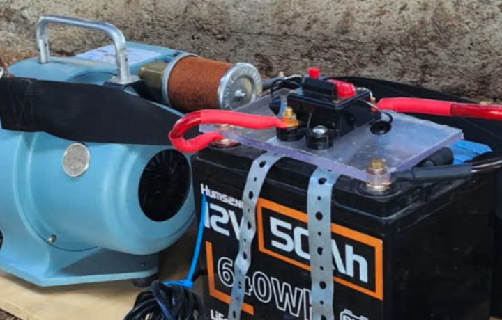
PASS and SASS support portable, stationary, and truck-mounted collection of large air volumes for pathogen, particle, and source-specific laboratory analysis in challenging field settings.
Data integration
Remote Sensing & Satellite Analysis
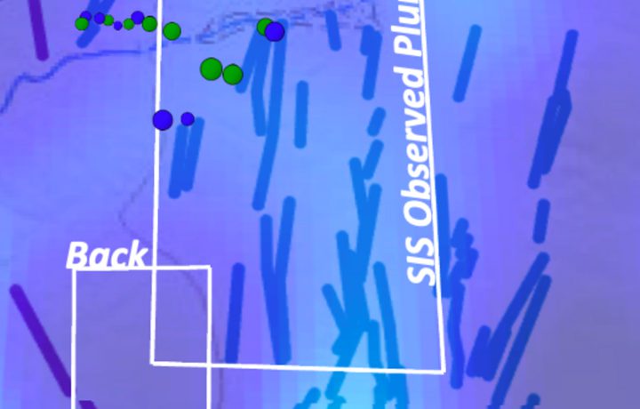
Ground measurements, airborne observations, and oversampled satellite products are combined to interpret concentration patterns, validate observations, and connect anomalies with sources.
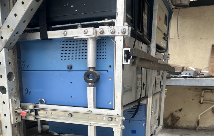
Scientific engineering
Custom Measurement & Sampling Systems
Sensor selection, mechanical integration, power, communications, software, calibration, real-time visualization, and field validation for nonstandard measurement requirements.
Adaptive field methods
Measurements That Adapt as the Real World Evolves.
BRI combines real-time visualization, mobile measurements, targeted sampling, and complementary datasets to refine survey decisions in the field and strengthen subsequent analysis.
Improve science outcomes
Respond to Conditions in Real Time
Live measurement displays support route refinement, repeated transects, slower investigation of areas of interest, and targeted sample collection while the survey is underway. I.e. shifting winds.
Source discrimination
Separate Background from Source Signals
Multiple trace-gas, aerosol, wind, and contextual measurements are evaluated together to identify patterns, distinguish competing sources, and improve interpretation. I.e. a pipeline leak on a dairy where cows also emit methane.
Targeted sampling
Connect Field Observations with Laboratory Analysis
Data fusion combines SISTER2’s unprecedented 18 trace-gas temporal data with 60+ species, high-compositional-resolution laboratory sampling. I.e. refinery plume sampling for BTEX exposure assessment.
Nested grid data
Integrate Measurements Across Scales
Nested grid data is integrated across spatial scales to compare and validate independently derived results. I.e. satellite-derived refinery emissions validated against surface in-situ measurements.
Scientific depth
Fast Iterative Cycles: Research, System Development, and Field Operations in One Technical Organization.
BRI carries programs from scientific conception through system development, field deployment, data analysis, and publication- or decision-ready technical results.
- Multi-institution and international program management
- Work for Fortune 500 companies, NASA, ESA, and other government agencies
- Mobile, fixed, airborne, satellite, and marine measurement integration
- Custom fabrication, software, calibration, and rapid field integration
- Real-time adaptive surveying and targeted sample collection
- Integration of mobile, laboratory, airborne, and satellite observations
- FAR-compliant contracting environment
Technical record
Systems, Methods, and Research Evidence for Technical Evaluation.
Review BRI’s mobile measurement platforms, specialized aerosol sampling systems, field methods, and published analyses for source characterization, emissions quantification, and remote-sensing interpretation.
Mobile measurement platform
SISTER2 Measurement Profile
Trace-gas measurements, aerosol size distributions, isotopic analysis, targeted air sampling, real-time visualization, and synchronized field context for adaptive mobile surveys.
Emissions & source analysis
Mobile Plume Mapping & Quantification
Adaptive transects, multi-gas source fingerprinting, wind-informed plume interpretation, anomaly mapping, targeted sampling, and emissions estimation.
Remote sensing & research
Satellite Data Fusion & Publications
Oversampled satellite products, ground and airborne comparison, spatial trend analysis, and research connecting mapped concentration anomalies with field measurements and source attribution.
Specialized aerosol sampling
PASS & SASS Field Systems
Portable and truck-mounted high-flow systems for aerosol and bioaerosol collection, spatially integrated surveys, targeted plume sampling, sample preservation, and laboratory analysis workflows.