
Scientific depth
Research, System Development, and Field Operations in One Technical Organization.
BRI carries programs from scientific conception through system development, field deployment, data analysis, and publication- or decision-ready technical results.
Since 2003
Environmental measurement, field research & instrumentation
Scientific excellence
Government, industry, and multi-institution work.
Clients include
Fortune 500 companies, NASA, ESA, and other government agencies.
Programs
Multi-institution and international project management.
Contracting
FAR-compliant for federal and agency work.
Staff
The BRI team.
Ira Leifer
Founder, CEO, and chief scientist
Dr. Ira Leifer leads Bubbleology Research International. He holds a Ph.D. in atmospheric sciences from the Georgia Institute of Technology, an M.S. in aeronomy from the University of Michigan, and a B.Sc. in physics and astronomy from SUNY Stony Brook. From 1999 to 2014 he held research appointments at the University of California, Santa Barbara.
His work covers methane and oil remote sensing, air-quality measurement, marine hydrocarbon seeps, and bubble-mediated gas transfer, with more than 130 peer-reviewed publications. He has served as lead principal investigator for the NASA/ESA COMEX airborne campaign, chief mission coordinating scientist for NASA airborne response to Deepwater Horizon, and a member of U.S. government flow-rate and oil-budget teams.
Recent publications
- Air pollution from the Los Angeles and Long Beach Ports: Part 2. Methane emissions. Atmospheric Environment, 2025. doi:10.1016/j.atmosenv.2025.121636
- Air quality trends for the ports of Los Angeles and Long Beach spanning the covid19 crisis: Part 1. Oxidant pollutants. Atmospheric Environment, 2023. doi:10.1016/j.atmosenv.2023.119949
- Decadal cyclical geological atmospheric emissions for a major marine seep field, offshore Coal Oil Point, Southern California. Scientific Reports, 2023. doi:10.1038/s41598-023-28067-4 · Open access
- Numerical model of floating oil on seawater, in situ thermal structure, thickness, and remote sensing. Thermal Science and Engineering Progress, 2024. doi:10.1016/j.tsep.2023.102367
- Oil at sea—how much is too much? Science, 2022. doi:10.1126/science.abp8666
- Measuring floating thick seep oil from the Coal Oil Point marine hydrocarbon seep field by quantitative thermal oil slick remote sensing. Remote Sensing, 2022. doi:10.3390/rs14122813 · Open access
Team bios coming soon
How BRI works
Adaptive Methods Strengthen Field Decisions and Subsequent Analysis.
Real-time visualization, mobile measurements, targeted sampling, and complementary datasets keep engineering, deployment, and interpretation connected.
Improve science outcomes
Respond to Conditions in Real Time
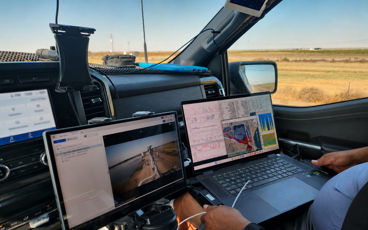
Live measurement displays support route refinement, repeated transects, slower investigation of areas of interest, and targeted sample collection while the survey is underway. I.e. shifting winds.
Source discrimination
Separate Background from Source Signals
Multiple trace-gas, aerosol, wind, and contextual measurements are evaluated together to identify patterns, distinguish competing sources, and improve interpretation. I.e. a pipeline leak on a dairy where cows also emit methane.
Targeted sampling
Connect Field Observations with Laboratory Analysis
Data fusion combines SISTER2’s unprecedented 18 trace-gas temporal data with 60+ species, high-compositional-resolution laboratory sampling. I.e. refinery plume sampling for BTEX exposure assessment.
Nested grid data
Integrate Measurements Across Scales
Nested grid data is integrated across spatial scales to compare and validate independently derived results. I.e. satellite-derived refinery emissions validated against surface in-situ measurements.